Mineral intelligence
StrataScope
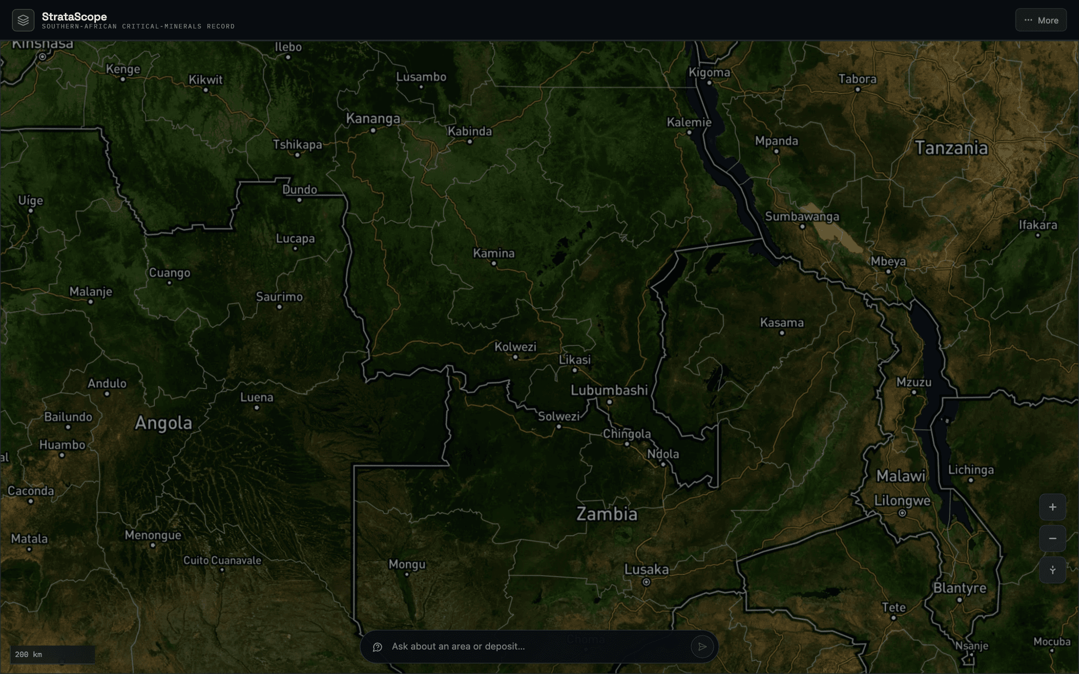
A map-first intelligence platform for exploring critical-mineral projects, infrastructure, and investment signals across Southern Africa.
The problem
Turn fragmented mineral-project information into a geographic decision surface instead of another document library.
What was built
Next.js application with MapLibre mapping, structured project records, and a data layer designed for regional intelligence.
- 01Project sources
- 02Normalized records
- 03Spatial model
- 04Map surface
The key decision
Make the map the primary navigation model because location, infrastructure, and project proximity carry the decision context.
Validation & current state
The working product runs in development; the public deployment is offline while the competitive intelligence and data-moat work continues.